
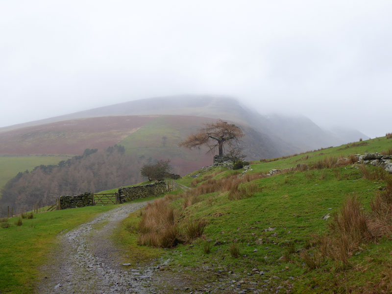
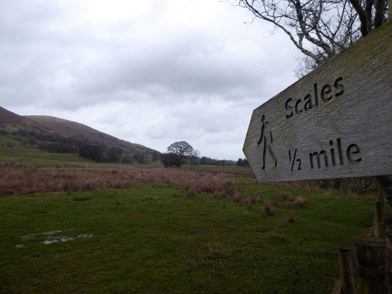
~Latrigg from Scales~
14th February 2020
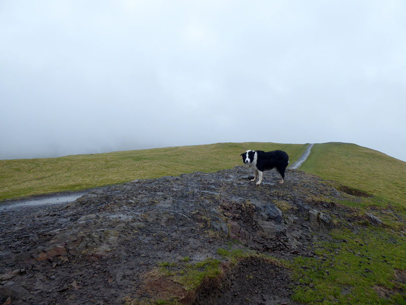
The Summit of Latrigg
 |
 |
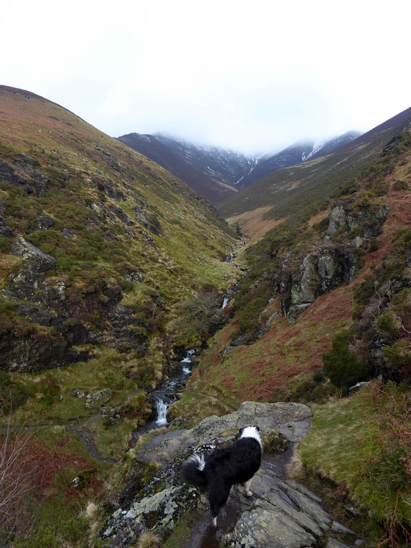
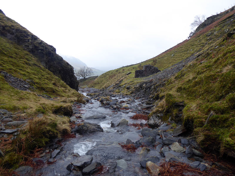
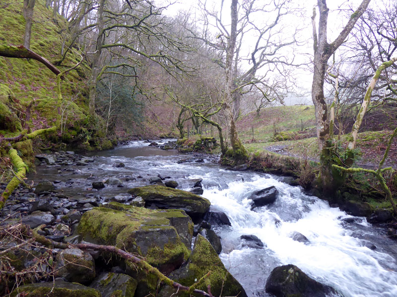
Whenever I am on holiday or at a campsite, I try to enjoy one walk from base and leave the car in situ. The forecast is for two to three hours of rain around the middle of the day, so my plan is to walk from Scales to Threlkeld and then find a different way back. There is a well defined path along the foot of Blencatra taking in four mountain streams. The first on this route in a south-westerly direction is Scaley Beck.
Scaley Beck
Be in no doubt, this is not an easy gill to cross. Once over the water from this side, it is a steep and slippy scramble to regain the path. I had to lift Molly up in one place and then find a way up for myself with damp boots gaining little purchase on wet rocks. Maybe you could go higher up the beck for an easier climb up the other side. Wainwright "The track crossing Scaley Beck needs care in two places on the west bank".

To Doddick Gill
The walk started from the back of the B&B at 0930hrs. By aiming for Threlkeld I have the option of walking back along the river if it starts to rain; there is also a coffee shop in Threlkeld which has been recommended.
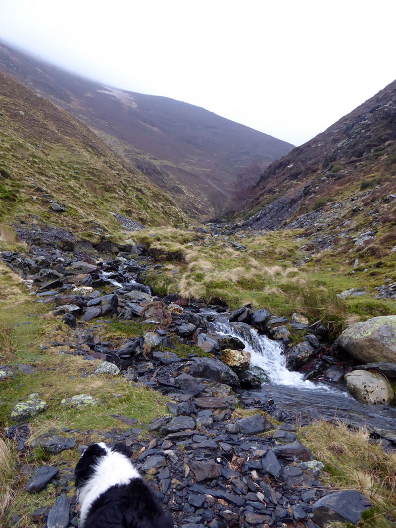
Doddick Gill
My first ever ascent of Blencathra was via Doddick Fell; I have subsequently ascended via Hall's Fell, Scales Fell, Sharp Edge and Foule Crag (to Atkinson Pike). Wainwright offers 12 different ascent routes to reach the summit of Blencathra, one of which is encouraged "to commend heartily to one's worst enemy", "for tough guys only". Do you know which one this is?

To Gate Gill
Gate Gill

Rock found in Gate Gill
Can you see a face? The rock is smaller than my fist and I have left it where others might find it.
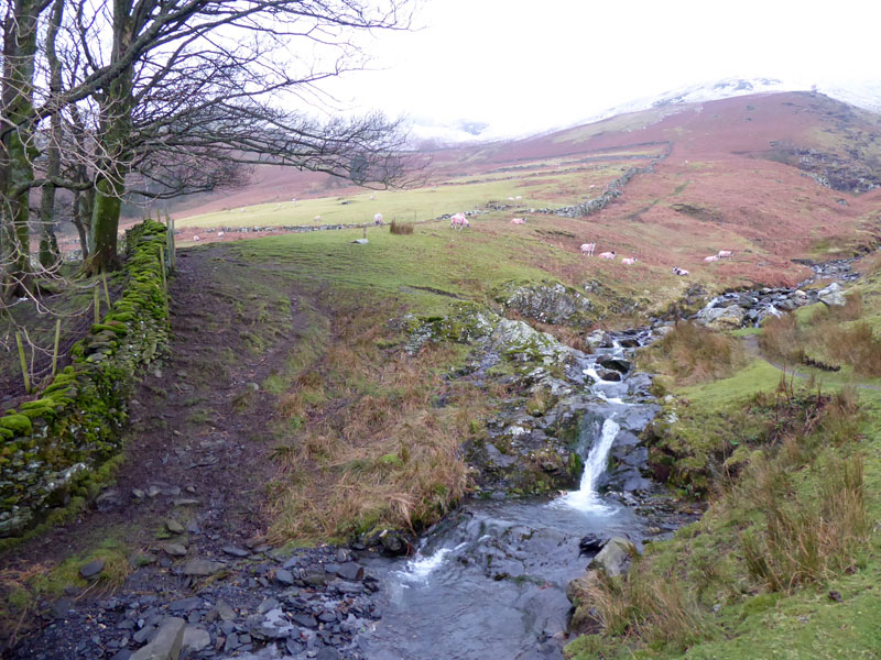
Blease Gill
It's neary 11 o'clock and I have decided to carry on, this is where we would have turned off and descended to Threlkeld. Only a little light rain, so on we go and maybe an ascent of Latrigg is on the cards.
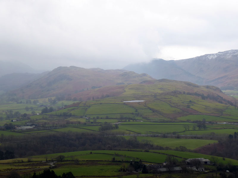
Tewit Tarn
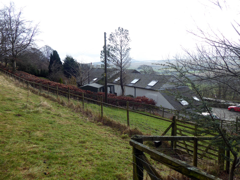
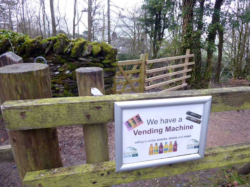
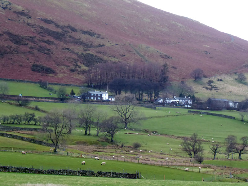
Tewit Tarn belongs to Low Rigg, with High Rigg further away. Soon we reach The Blencathra Centre and walkers are allowed to walk through their grounds and there is a refreshment opportunity, of sorts.
 |
 |
Nice |
Not so Nice |
I am enjoying this walk without a rucksac and therefore no drink. I'd have paid £1 for a bottle of water, but (a) they didn't have any bottles of water and (b) the machine offered all drinks at £1, but didn't accept £1 coins. I had various means of payment with me, but no change other than £1 and £2 coins.
Lonscale Fell
Glenderaterra Beck
Now, as the railway path to Keswick remains closed, as it has been since the floods of December 2015, options are now up and over Latrigg or the path through the woods. It has started to rain properly, but Latrigg it is, I don't fancy getting lost in the woods. I meet two Polish nationals who live and work in England and are intent on climbing Skiddaw. They have a smartphone with a mapping wotsit, so nothing can possibly go wrong in the low cloud and rain...
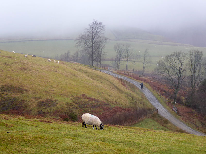
Walking Poles
At the foot of the Latrigg walk, they asked me if they were on course for Skiddaw and I said "follow me". Off they go for the tourist route up Skiddaw, they seemed quite clued up and I thought they'd be ok, or at least until they found someone else to seek guidance from.
|
 |
~~~
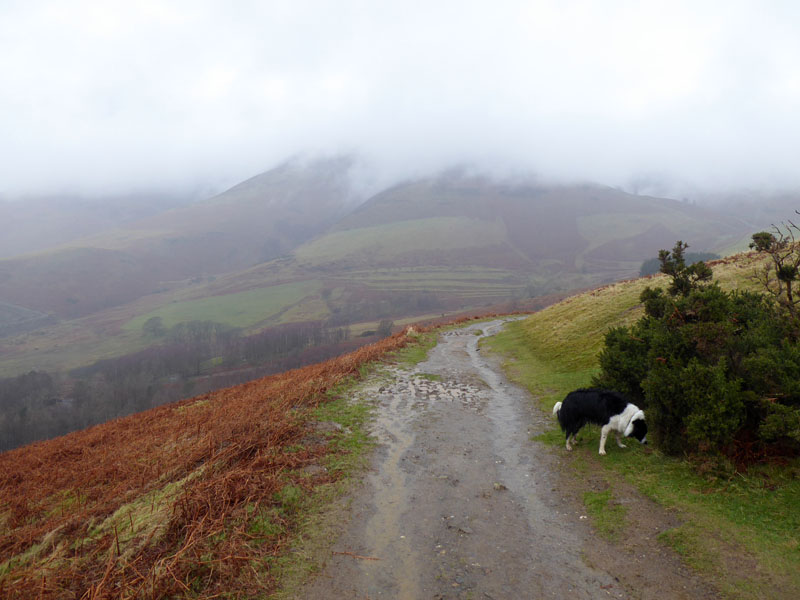
The summit of Latrigg is a cheerless place on a day like this, we are somewhere near the middle of the predicted wet spell. The camera is kept under wraps for most of the way down. We passed a few other walkers with their colourful coats and long faces.
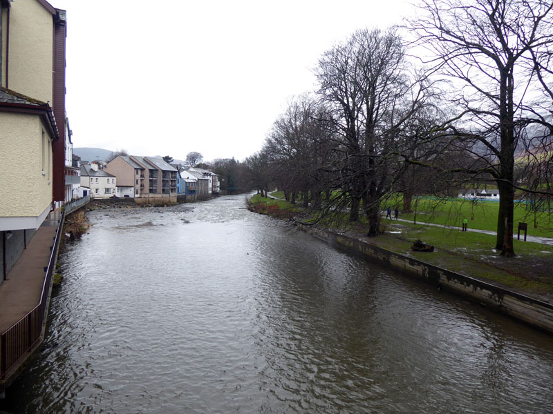
River Greta, Keswick
Fitz Park, to the right in this photo, is my favourite place in Keswick. A wonderful community asset with all manner of sporting facilities and wide open spaces, along with a cafe and childrens' play areas. All under the brooding gaze of mighty Skiddaw.
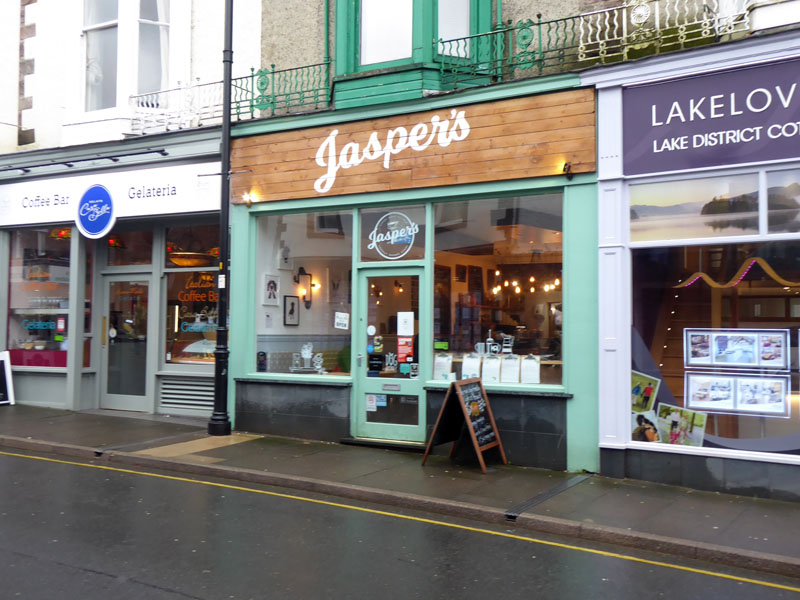
Jasper's
A welcome refreshment opportunity. I decided I was going to try somewhere different as long as it accepted dogs. This one is named after a family pet and the place is decorated mith much canine paraphernalia. With the aid of "free" wi-fi (does anywhere charge extra for wi-fi?), I checked bus times for a return to Scales. One in five minutes and one in an hour - I wasn't going to risk indigestion or hang around, so I decided we should walk back.
 |
 |
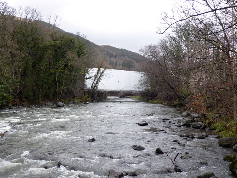
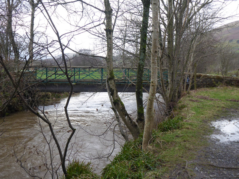
Railway Bridge over River Greta |
"Repaired" Railway Path |
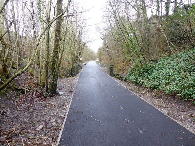
Our route back to Scales would have been on the railway path, but in the event it was out of Keswick along the road and up Eleven Trees Road to Castlerigg Stone Circle. The photo on the right is a small section of the new surface for the railway path. Ah, miles of mundane metalled marching along beautiful black asphalt! Who thought this one up?
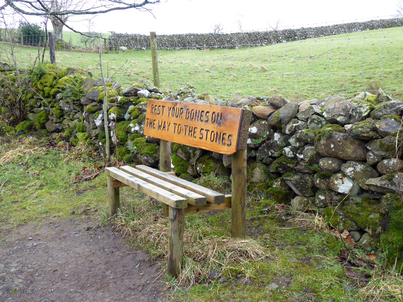
Bench
Seen on the way to Castlerigg Stone Circle. We didn't rest or visit the Stones, they are best visited at dawn when there's nobody else around - but someone will be lurking a short distance away with a tripod and a fancy camera.
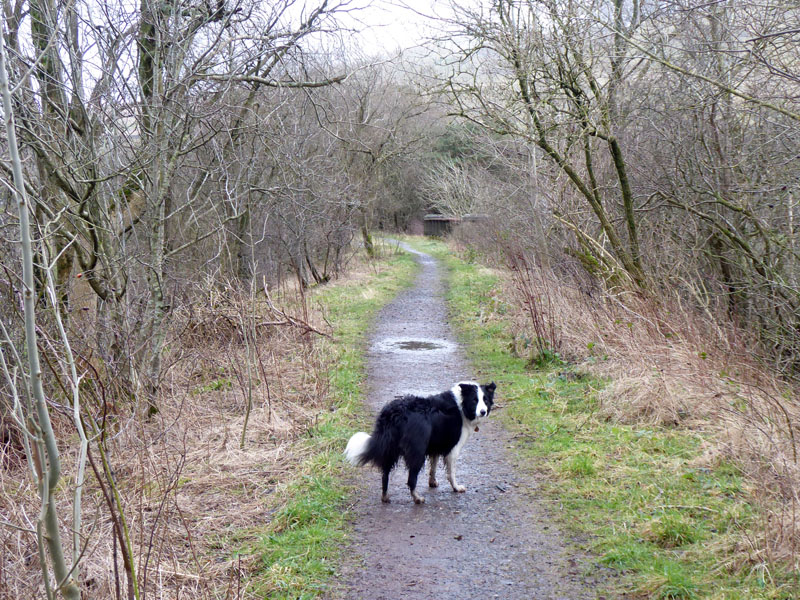
Railway Path, Threlkeld
Nearly one hour later, we join the old railway track route approaching Threlkeld Bridge. This is what an abandoned railway walking route should look and feel like.
 |
 |
Birch Trees |
Mill Bridge |
Molly studies the birch trees to try and estimate the years since the railway was abandoned. Mill Bridge is not a railway feature and we have now left the trackbed and will walk along the river to Guardouse.
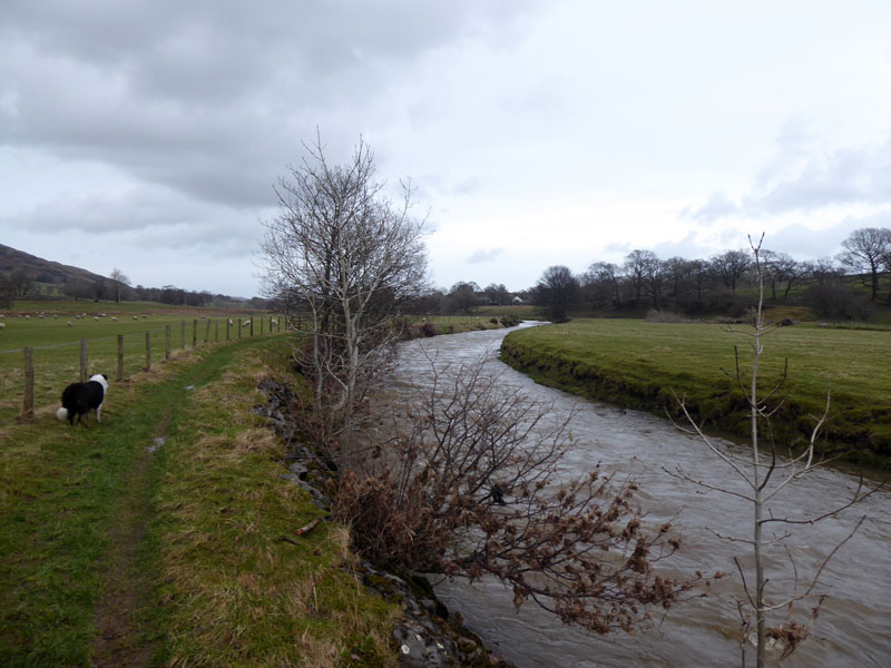
River Glenderamackin
 |
 |
Not far now and the farmhouse and pub soon come into view.
Time taken: 7hrs 20mins over a distance of about 13.5 miles, including cafe time.
Route: Scales, along the base of Blencathra's fells to Blencathra Field Centre. Latrigg, to Keswick via the popular path passing Fitz Park. Out of Keswick on the main road to Eleven Trees Road and up to Castlerigg Stone Circle, Naddle Bridge, Burns Farm, Threlkeld Bridge, Mill Bridge, River Glenderamackin, Guardhouse, fields up to Scales.
Weather and conditions: Dull, rain, drier and still dull.
Greetings: The walking Poles and a few long faces on Latrigg, otherwise quiet on the out-of-town bits.
Refreshments: Jasper's is a fine cafe welcomming walkers with their muddy boots and dogs. At the time of writing, you can find their details on Facebook and reviews on TripAdvisor.
Blencathra from Threlkeld via Doddick Gill is the one "for tough guys only".
Keswick to Threlkeld Railway Path
Scales Farm Country Guest House - We stayed in Room 1 which is ideal for one man and his dog, or indeed one lady and her dog. Fine accommodation, really clean and welcomming. Fine breakfasts and a lounge for guests to use. Pub next door, what more do you need?
~~~
All photos copyright Richard Ratcliffe 2020 ©
Take me back to the start ....